Wide panoramic aerial drone shot looking straight down over a Cameroonian city grid at golden hour — road networks and building footprints rendered as precise geometric patterns, the terrain glowing amber and deep shadow, a single surveying tripod silhouette visible at the far left edge, vast sky above the right third
/ Engagez la conversation

Votre projet mérite une réponse précise

Formulaire, WhatsApp ou appel direct — zéro friction entre votre besoin et notre équipe. Première réponse sous 24h ouvrées, sans exception.

— Cabinet Géomètre-Expert

Données terrain, résultats actionnables

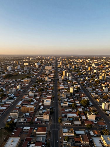
Basé à Yaoundé, le cabinet intervient sur toute l'Afrique centrale et de l'Ouest — topographie, géomatique, BIM, SIG et ingénierie foncière à l'échelle de vos projets.

La précision commence avant la signature du contrat. Décrivez votre mission — notre équipe revient vers vous avec une lecture technique, pas un argumentaire commercial.