/ Geomatics — Territory — Precision
Excellence in Geomatics, Topography, and Land Engineering
Accredited and Certified.
Measure today, design tomorrow, build Africa. Jerry Mangele Surveying and Geomatics Firm, a reference in Central Africa
— Verified field data
150+
12 000 km²
18 Years
6 Domains
Topography, GIS, BIM, land management, urban planning, and photogrammetry under one firm
Infrastructure projects delivered across Central and West Africa
Territories mapped with centimeter-level precision by our field teams
Geomatics expertise serving public and private project owners

+ Integrated technical capabilities
One firm. The entire spatial data chain.
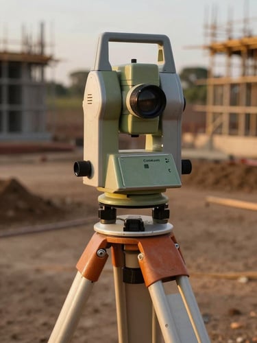
Topography & Geomatics
BIM & 3D Modeling
GIS & Urban Planning
Precision surveys, drone orthophotos, and digital terrain models for every phase of the project
Digital infrastructure models powered by field data, ready for project coordination
Geographic Information Systems and development plans for smart city projects
Your project deserves uncompromising data
Every mission begins with a technical consultation. Describe your site, constraints, and timelines—we respond with a validated methodology